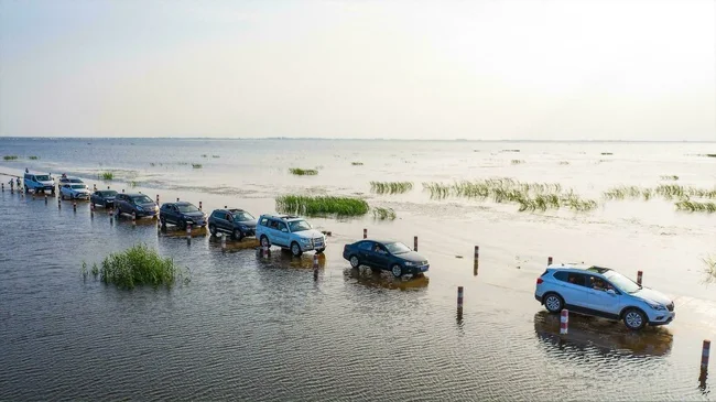
“Road of Brooms” and three more crossings that periodically go under water (5 photos)
There are several highways in the world that go under water twice a day - they are flooded by the tide. When the water recedes, slippery algae remain on the damp surface, on which the car rolls as if on ice. 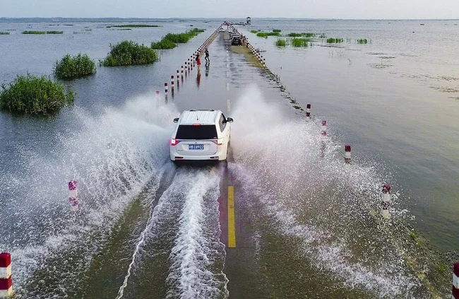
At such moments, drivers and pedestrians must muster all their will and carefully overcome this path. However, every year the Coast Guard receives hundreds of reports that people have become hostage to the tide on one of these roads - they did not calculate the timing of the surf or did not take into account bad weather conditions. The water overtook them before they crossed the path, and now they need the help of rescuers. What kind of roads are these?
Shell Island Dam
In north-west Wales, the Shell Peninsula is home to the UK's largest camping holiday area. But in order to relax with tents by the fire, you have to overcome one challenge: driving along a dam, which is flooded with water at high tide. Before the English set out on the journey to Shell, they would find out in detail the exact time of the tide and whether there would be a storm or strong wind that would throw huge waves onto the road. But usually the dam is completely blocked during storms. Nevertheless, the difficulties do not frighten hundreds of tourists who love to relax on Shell, and they go there with pleasure. 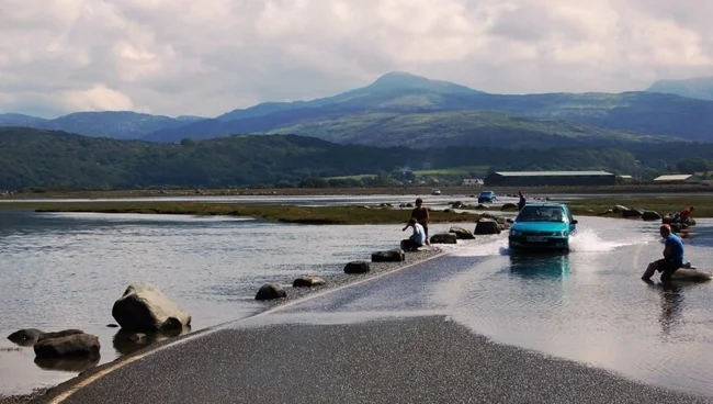
Loningsveien
In the Wadden Sea off the coast of Denmark there is the island of Mandø. This is probably the calmest among the Danish islands, because an old dirt road leads there, on which cars rarely risk driving, and tourists do not want to walk on damp pebbles covered with algae and sea creatures. In addition, the Loningsveien road goes under water twice a day, completely isolating Mandø from people. If the British decided in the 1950s to build roads to similar islands in order to make the places attractive for recreation, living and taxpayers, then Denmark has a different opinion. The Danes are sure that there are very few places left in the world that have not yet been touched by tourism, and therefore let at least Mandø remain in their ranks, away from civilization and the omnipresent man. 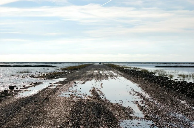
Broomway
The British nicknamed it “the road of brooms” because it sweeps people into the sea even in good weather. Over the past 600 years, historians have noted more than 100 people have drowned while crossing the Broomway. And it’s hard to call it a road: a sandy path intended only for pedestrians and off-road vehicles. This path is located in the county of Essex in the south of England and connects the island of Fullness with the mainland. The trail is especially dangerous during snowstorms or sea storms, but unlike other similar roads, there is no caretaker on the Broomway - there is no one to close the path during storms and not let people in. The tide also floods the road twice a day, making it even more dangerous. 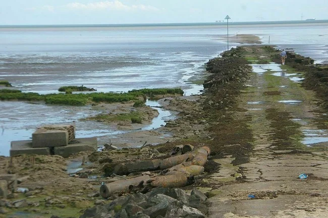
Yunwoo
This road is located in China and runs through Poyang Lake. It has a different frequency of water coverage than its predecessors. During the rainy season, which begins in May, the water in the lake rises, and for several months, until September, the road will be completely hidden under water. At first, the water level will not be high, and cars will be able to drive and people will be able to walk, guided by the high posts along the edges of the road. But after another couple of weeks of continuous rain, there will be so much water that drivers will be forced to look for alternative routes. 